Bentley WaterCAD CONNECT Edition Update 2 10.02.02.06
This post was published 4 years ago. Download links are most likely obsolete. If that's the case, try asking the uploader to re-upload.
x86,x64 | Language:English | File Size: 883 MB
Description
WaterCAD is an easy-to-use hydraulic and water quality modeling application for water distribution systems. Utilities, municipalities,and engineering firms trust WaterCAD as a reliable, resource-saving, decision-support application for their water infrastructure. From fire flow and constituent concentration analyses, to energy cost management and pump modeling, WaterCAD helps engineers and utilities analyze, design, and optimize water distribution systems.WaterCAD takes advantage of Bentley CONNECT services by associating a hydraulic model with a CONNECT project.
Features
-Plumbing system analysis and critical control points
-To optimize the system for protection against heat flows
-Ability to create and manage hydraulic models
-Full design water distribution network
-Possible to plan for the development of flushing
-The ability to detect water leaks
-Energy Management
System Requirements
Operating System:
–Windows 7 SP1(32 bit/64 bit)
–Windows 8/8.1(32 bit/64 bit)
–Windows 10(32 bit/64 bit)
Platform Requirements
Bentley WaterCAD CONNECT Edition does not require any additional CAD or GIS software to work as
a stand-alone application. However, WaterCAD CONNECT Edition can run on the following platforms
(if available):
-MicroStation V8i SELECT series 4
-support:AutoCAD 2018, 2019, 2020 (32 bit/64 bit)*
-WaterCAD are now compatible with WaterCAD CONNECT Edition is compatible with ProjectWise V8 XM Edition or later.
-ArcGIS 10.6 Support
Whats New
What’s New
-The WaterCAD CONNECT Edition provides a unified, common environment that advances productivity, team collaboration, and project performance. Key new capabilities of the CONNECT Edition releases allow users to:
-District Metered Areas (DMA) Tool: District Metered Areas (DMA) are sections of a water distribution system that are isolated from the rest of the system (usually with closed valves) such that all of the water in and out of the DMA can be metered. DMAs provide a means of more accurately tracking water use and loss than in a system without DMAs.
-SCADAConnect Import now supports reservoir elevation: SCADA elements can now be mapped to reservoirs. Reservoir level hydraulic grade is used for regular graphing (of SCADA elements) and for initial conditions loading.
-AutoCAD 2020 Support
-Bug Fixes and Performance Enhancements
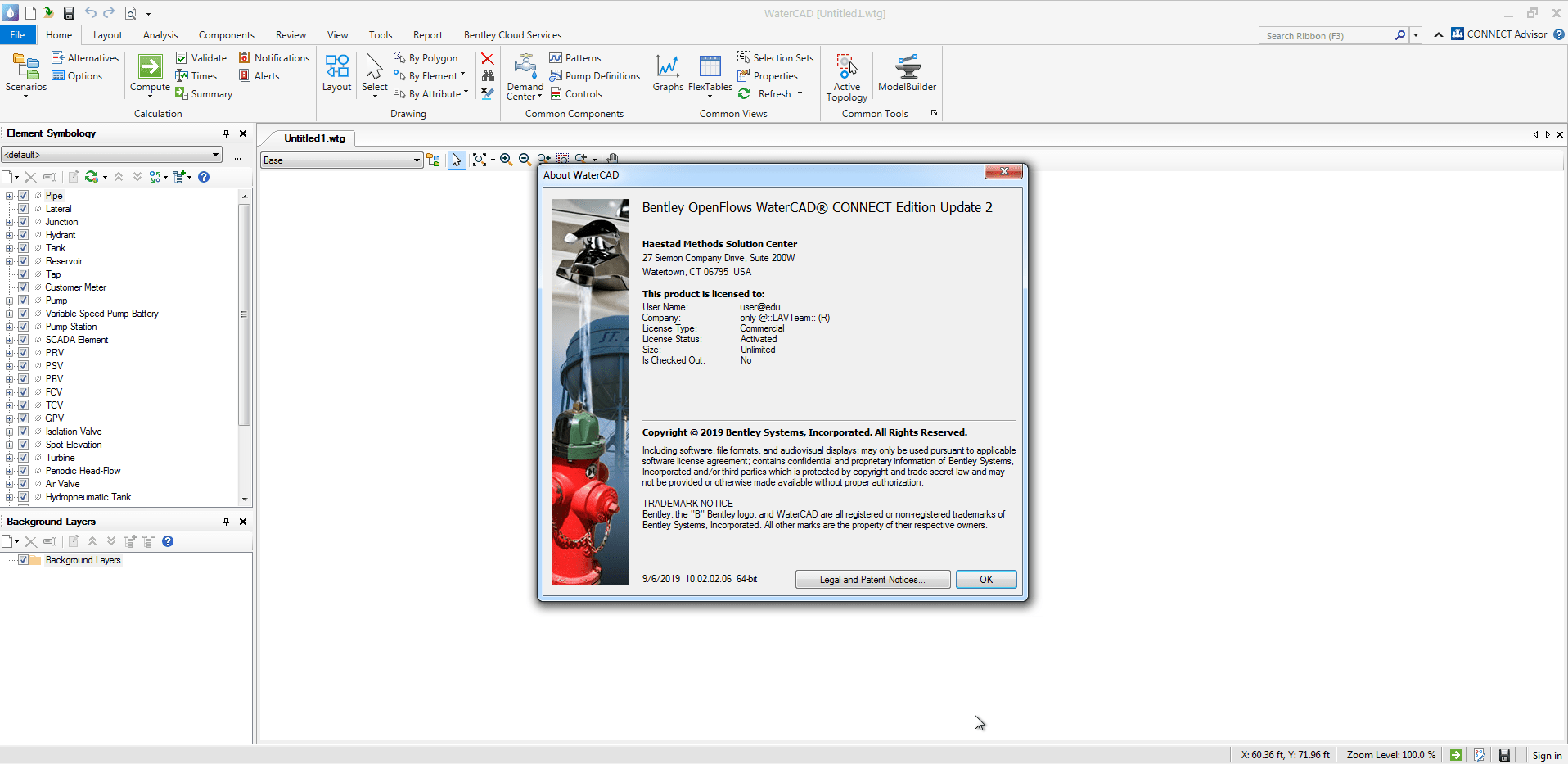
Screenshots
Homepage
Download from free file storage
Resolve the captcha to access the links!
Registered members don't get captcha ... just sayin